Soaring into the stratosphere
Second annual Stratospheric Operations and Research Symposium or SOaRS highlights potential of high-altitude UAVs
UND scholars – not to mention their counterparts from around the nation and globe – had their heads in the clouds earlier in March, as military personnel and aerospace industry leaders told them of the most recent technological developments pertaining to aerial operations in the stratosphere.
Which means that technically, their heads were above the clouds.
That’s because the stratosphere sits above the atmosphere’s lowermost layer, the troposphere – the layer where clouds and weather systems form. Starting at an altitude of about 6 to 11 miles (or roughly 32,000 to 60,000 feet), the stratosphere extends upwards to a total of about 30 miles or 158,000 feet before blending into the mesosphere.
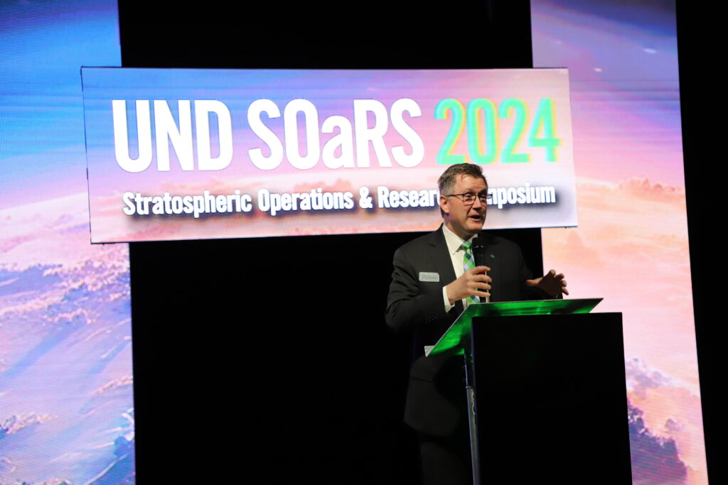
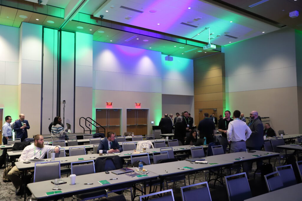
The second annual SOaRS or Stratospheric Operations and Research Symposium, held at UND’s Memorial Union on March 12 and 13, brought attendees to Grand Forks from far and wide, with Taiwan, The Netherlands and the United Kingdom among nations represented. The symposium centered on developments in High Altitude Long Endurance Aircraft (HALE) and High Altitude Pseudo Satellites (HAPS, referred to as High Altitude Platform Stations in Europe.)
Robert Kraus, dean of UND’s John D. Odegard School of Aerospace Sciences, emceed the event.
UND President Andrew Armacost welcomed attendees to campus, citing the symposium’s importance as an incubator for innovation and collaboration in the field of unmanned aerial vehicles.
“Events like this are about connection – the very humanity and the ideas that can be generated by pulling such a group of eminent scholars, researchers and practitioners together in an environment like this,” he said. “You are exploring areas that this world needs. Just know that the University of North Dakota is fully engaged as a partner in this work.”
Improved Connectivity
Throughout the symposium, speakers reiterated that HAPS provide high-speed, low-latency telecommunication connectivity – that is, a high volume of data traffic with minimal delay.
Samer Halawi, CEO of AALTO HAPS – a subsidiary of the aircraft manufacturing giant Airbus – spoke of his organization’s Zephyr mission, which seeks to increase connectivity in underserved areas via a lightweight, solar-powered, fixed-wing HAP. According to Halawi, the Zephyr can provide coverage to up to 7,500 square kilometers, an area that would require 250 ground cell towers.
Halawi opined that HAPS will pave the way for telecommunications operators to provide such services in a more cost-effective manner. He described HAPS as a “satellite that you can launch, land and change payloads anytime,” citing the technology’s versatility.
“In serving rural and remote areas, there is nothing like HAPS,” he said. “I was in Yellowstone (national park) over the summer, and there’s no coverage except for a few spots. If you put one HAPS over Yellowstone, you have the whole thing covered in a very economical way.”
Derek “Dex” Halpin, vice president and general manager of high-altitude platform systems for AeroVironment – a defense contractor specializing in the manufacturing of unmanned aerial vehicles – added that 2.7 billion people or 35% of the world’s population still do not have access to the internet.
UND Research
During a panel discussion chaired by Mark Askelson, associate vice president for research-national security, UND faculty members discussed some of their research initiatives, and stressed the importance of the symposium for collaboration toward further technological development.
Among these initiatives is improving hurricane forecasting by using high-altitude balloon platforms – research that’s being conducted by a team led by Matt Gilmore, chair of UND’s Department of Atmospheric Sciences. Gilmore said shifting to these platforms has major cost-cutting potential.
“The Global Hawk aircraft can follow a hurricane between 24 and 30 hours at a cost of about $43,000,” he said. “With these high-altitude balloon platforms, we can do that at about a cost of $1,000.”
He added that uncrewed aerial systems under development have the potential to stay in the stratosphere for upwards of a month, which would provide more accurate forecasting data.
Ryan Adams, associate dean of national security, said UND is in the process of developing and launching high-altitude satellites. He expressed optimism in UND’s partners, such as the Test Resource Management Center, to help the university achieve its goals.
“I think in the next few years, we will see continuous high-altitude platforms performing very important functions that will continue to get better,” he said.
Challenges
HAPS and HALES are not operated without challenges, however. Despite flying above thunderstorms and other inclement weather, cold temperatures can hinder their operations.
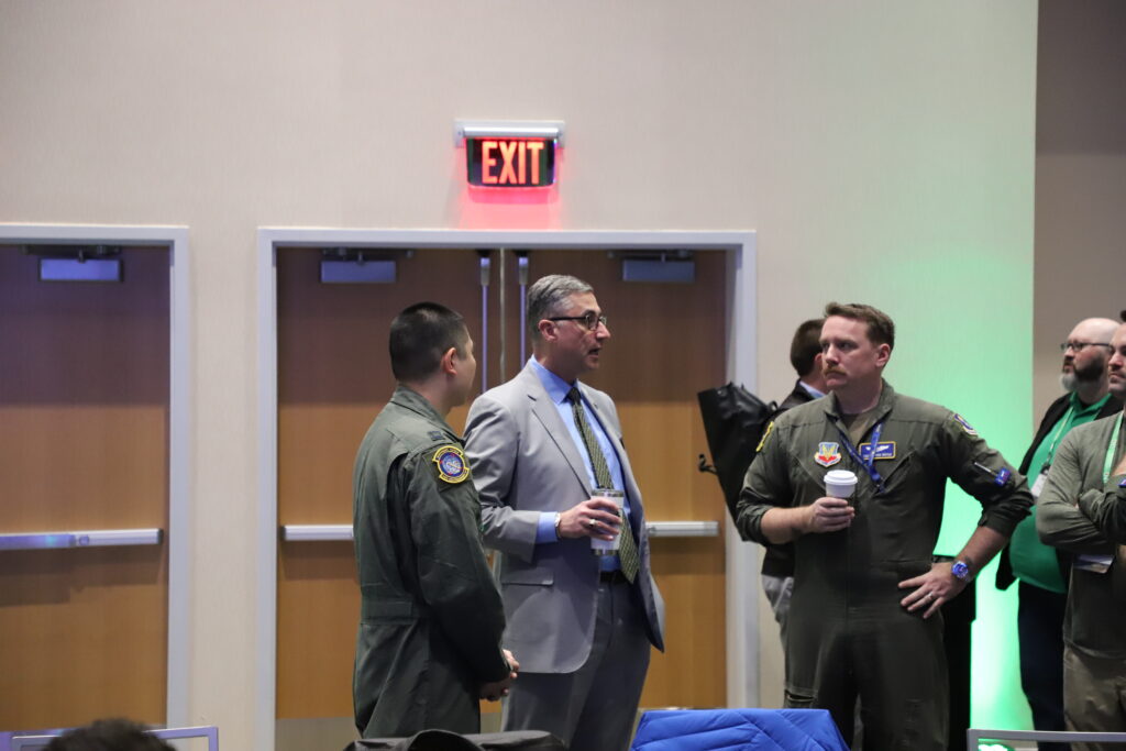
Lt. Col. Cory Turner, commander of the 348th Reconnaissance Squadron at Grand Forks Air Force Base – the nation’s only squadron operating the Northrup Grumman RQ-4 Global Hawk – said the aircraft must not operate in temperatures colder than -94 degrees Fahrenheit for its first three hours of flight time, then must operate in air warmer than -90 Fahrenheit for the remainder of its flight.
“The aircraft is not necessarily designed to operate in those temperatures for long durations of time, but we require it to,” Turner said.
Turner said operating in such dynamic weather conditions requires Global Hawk operators to “stay ahead of the jet,” constantly monitoring conditions in advance.
“I need to know what the weather is going to look like seven hours from now, 4,000 miles away,” he said. “If that weather is not supportive, I probably should not be executing that mission.”