From Geospatial AI to Virtual Reality: UND ARCTIC Lab Publishes Three New Papers
2026 continues to be an excellent year for the UND ARCTIC Lab with three new papers published by our teams in February and April:
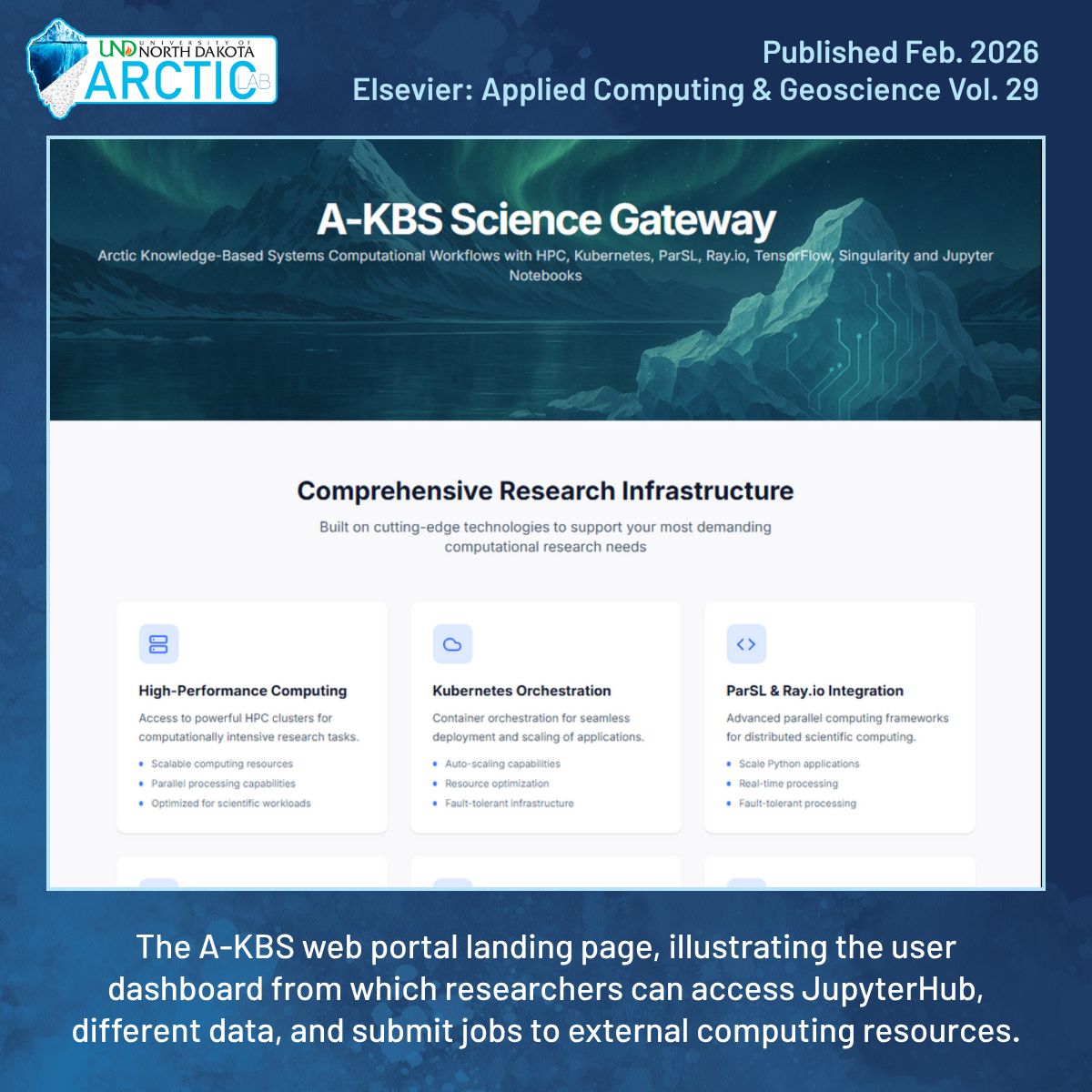 |
“The Arctic Knowledge-Based System: Science Gateway Integration for Petascale Arctic Data Processing and Geospatial Feature Prediction”
Published in Elsevier’s Applied Computing and Geosciences journal in February. The paper focuses on the titular online platform. With embedded AI-powered geospatial tools, researchers can better predict permafrost features including ground thaw depth, wildfire occurrences, and soil or air temperature changes over time. Behind the scenes, the system connects to the NCSA Delta Supercomputer, to the Arctic Lab’s Kubernetes Cluster, and to AWS (Amazon Web Services), leveraging complex workflows to parallelize distributed jobs across many machines at once. DOI Link: https://doi.org/10.1016/j.acags.2026.100322 |
 |
“LiDAR-Based Road Surface Damage Classification: A Survey”
Published in MDPI’s Sensors Journal in April, and reviews how LiDAR (a technology that uses laser pulses to measure surface shapes in 3D) can do a better job than regular cameras at spotting road damage in shadows, bright sunlight, or when colors are blended. Such detection can prevent serious transportation issues (such as along the Alaskan Dalton highway), which can occur when road surface damage goes unnoticed. The paper details how data was collected from vehicles or stationary scanners, how computers are trained to recognize cracks and potholes, and how LiDAR can be combined with other sensors for better accuracy. DOI Link: https://doi.org/10.3390/s26082338 |
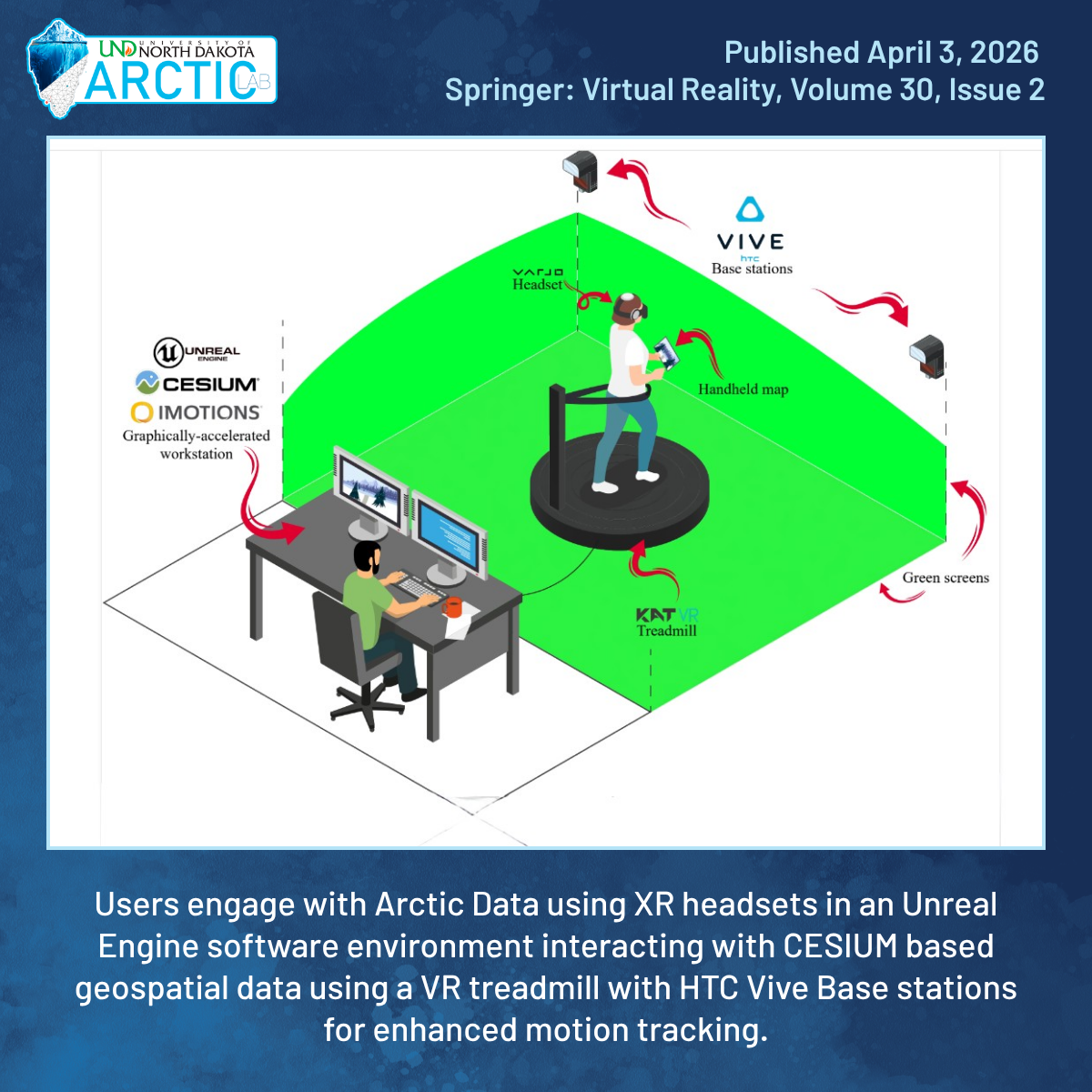 |
“Creation and Evaluation of the Arctic Data Visualization Environment: an XR System for Geospatial Data Exploration in Cesium”
Published in Springer’s Virtual Reality journal in April and details the UND Arctic Lab’s/UND DREAM Lab’s Arctic Data Visualization Environment (ADVE): a virtual reality system enabling users to explore detailed 3D versions of real Arctic locations. The goal of this technology is to allow researchers easy access to a “digital twin” of the Arctic, wherever they may be, to better understand infrastructure problems in remote, hard-to-reach places. We are continuing this research stream with the expectation that the ADVE will play an increasingly important role in infrastructure and training in Arctic environments. DOI Link: https://doi.org/10.1007/s10055-026-01365-8 |