First UND NSF-NRT Fellow
Proposal Defense Announcement
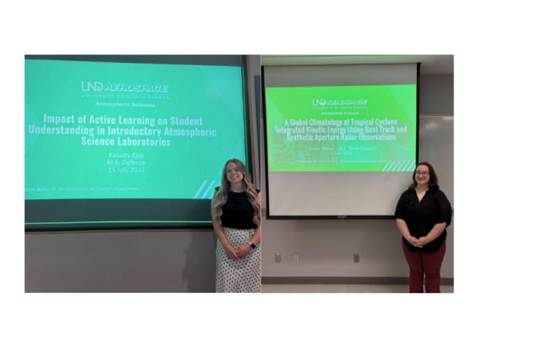
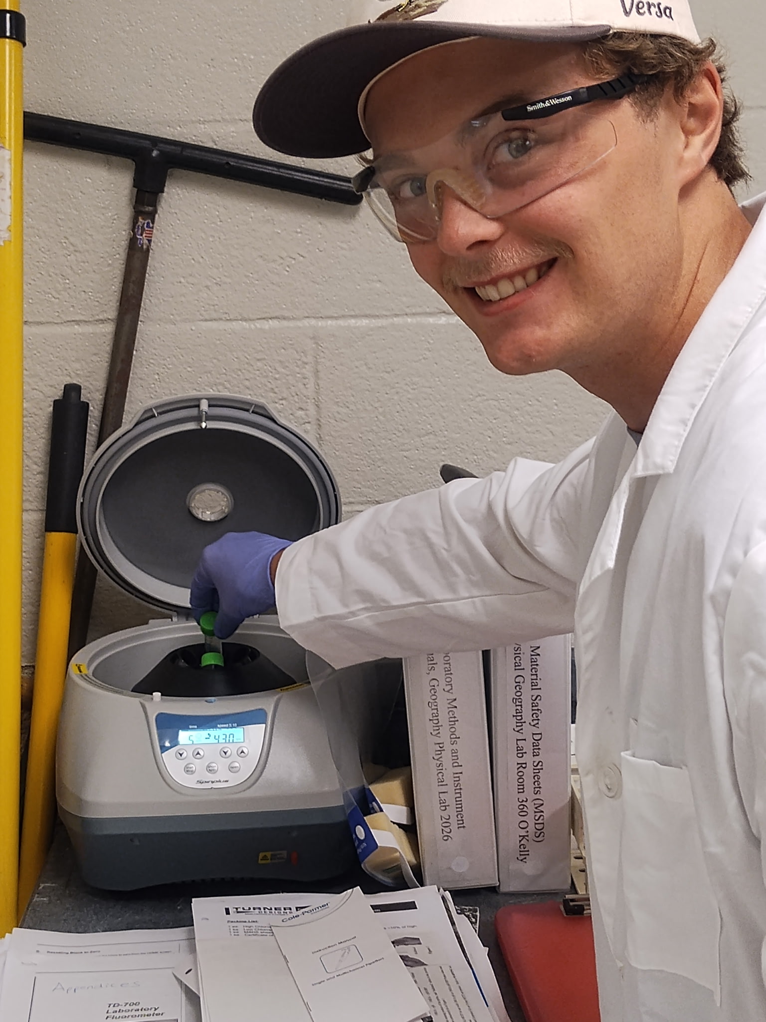
This past June, NSF-NRT trainee Zachary Ahrenstorff successfully defended his master’s topic proposal. Zachary is a graduate student in the Geography department. His research focuses on Improving Satellite-Based Monitoring of Harmful Algal Blooms in Prairie Pothole Lakes Using Machine Learning.

About the NSF-NRT Program
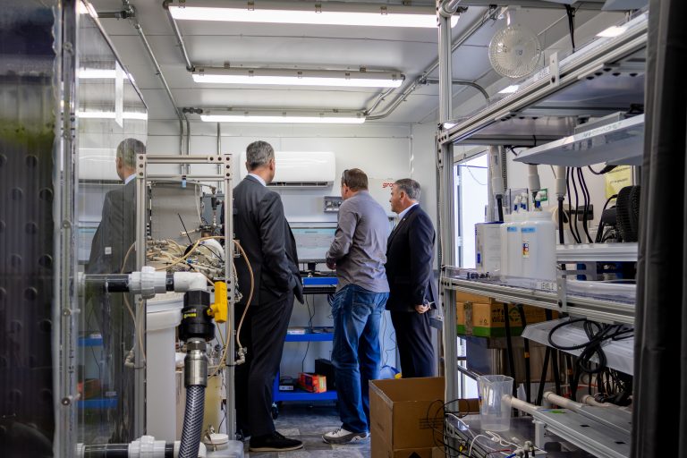
The National Science Foundation National Research Traineeship Program is the first of its kind at the University of North Dakota. Specifically, the program aims to prepare graduate students to address complex water and land challenges. Trainees gain interdisciplinary training, master advanced technologies, and collaborate with government agencies, tribal organizations, and research partners.
Furthermore, the program emphasizes foundational science alongside advanced technical skills. Students also build crucial interpersonal skills, including communication, leadership, and cultural competency.
The Challenge: Harmful Algae Blooms
Freshwater lakes throughout the Prairie Pothole Region provide important ecological, recreational, and economic benefits but are increasingly threatened by harmful algal blooms (HABs). These blooms can degrade water quality, disrupt aquatic ecosystems, and produce toxins that pose risks to both humans and wildlife.
Traditional monitoring methods rely on field sampling, which provides accurate measurements but is labor-intensive, costly, and limited in spatial and temporal coverage. Satellite remote sensing offers a promising alternative by enabling frequent, large-scale monitoring of lake water quality.
Research Approach & Methodology
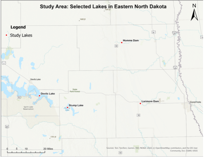
Zachary’s research aims to improve satellite-based estimation of chlorophyll-a and phycocyanin, two key indicators of algal biomass and cyanobacterial blooms, using machine learning techniques. The study focuses on four lakes in northeastern North Dakota, Devils Lake, Stump Lake, Larimore Dam, and Homme Dam.
Field water quality measurements collected during the growing season will be paired with Harmonized Landsat-Sentinel (HLS) imagery. Satellite imagery and environmental datasets will be processed and analyzed within Google Earth Engine. Published spectral indices will then be evaluated and incorporated into machine learning models to identify the most accurate methods for estimating chlorophyll-a and phycocyanin concentrations.
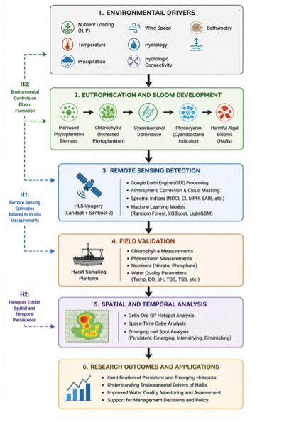
In addition to satellite observations, environmental variables such as water, temperature, wind speed, precipitation, and seasonal conditions will be incorporated into the models to determine whether they improve prediction accuracy. Explainable artificial intelligence methods will also be used to identify the environmental factors that most strongly influence model performance, providing greater insight into the processes that drive HABs.
Overall, this research seeks to develop a more accurate and transferable framework for monitoring HABs in inland lakes. The results will improve our ability to detect and monitor changes in water quality while providing lake managers and resource agencies with enhanced tools to support water resource management and protect freshwater ecosystems throughout North Dakota and other regions with similar lake systems.